
WHY A WETLAND GUIDE FOR NEW BRUNSWICK?
Who is this guide for?
New Brunswick residents with wetlands on or bordering their property who want to learn about, and protect wetlands.
The purpose of this guide is to:
Help identify wetlands on your property.
Increase awareness of wetland protection in New Brunswick.
Increase awareness of New Brunswick’s policies and regulations.
Help people take care of wetlands on their property.
After reading this guide, you will:
Understand what wetlands do for you.
Know which permits are required for work in or around wetlands or watercourses.
Know how to care for and protect wetlands.
Contact the Department of Environment and Local Government for updates on regulations, policies, permitting, and other wetland and watercourse related information. (506) 453-2690. elg/elg-info@gnb.ca.
WHAT ARE WETLANDS?
Wetlands are areas where the water table is at, near, or above the ground. These areas are indicated by wet soils and water-tolerant plants. Wetlands control flooding, filter water and provide wildlife habitat.
Wetlands provide benefits that no other natural habitat does, including protecting existing development from flooding, providing water during drought, lessening the impacts of climate change, and giving wildlife and plants a space to flourish.
Together, all these benefits are known as ecosystem services and they are provided to everyone free of charge.
Some of these benefits, like water cleaning and flood control are economically valuable. In New Brunswick one hectare of wetland can provide up to $24,000 of ecosystem services per year(1); services you don’t need to pay for.
WETLAND BENEFITS
Social Benefits
Wetlands clean water by filtering out pollutants and heavy metals. This is important in wetlands connected or close to watercourses, since we use this water for drinking, fishing, and swimming. Wetlands also provide New Brunswickers with natural spaces for recreation, like hunting, birdwatching, paddling, and more.
Natural Benefits
Wetlands act like natural sponges, absorbing rain and snowmelt to decrease runoff and release water slowly, lessening the impact of flash flooding. Wetland plants slow water with their thick root masses, keeping soil stable, and protecting your property against erosion. Flooding and erosion can damage your property and public infrastructure.
Climate change will continue to cause extreme and irregular weather events in New Brunswick, bringing increased water run-off, and more frequent winter thaws. By keeping and protecting wetlands on the landscape you will help lessen these impacts.
WILDLIFE BENEFITS
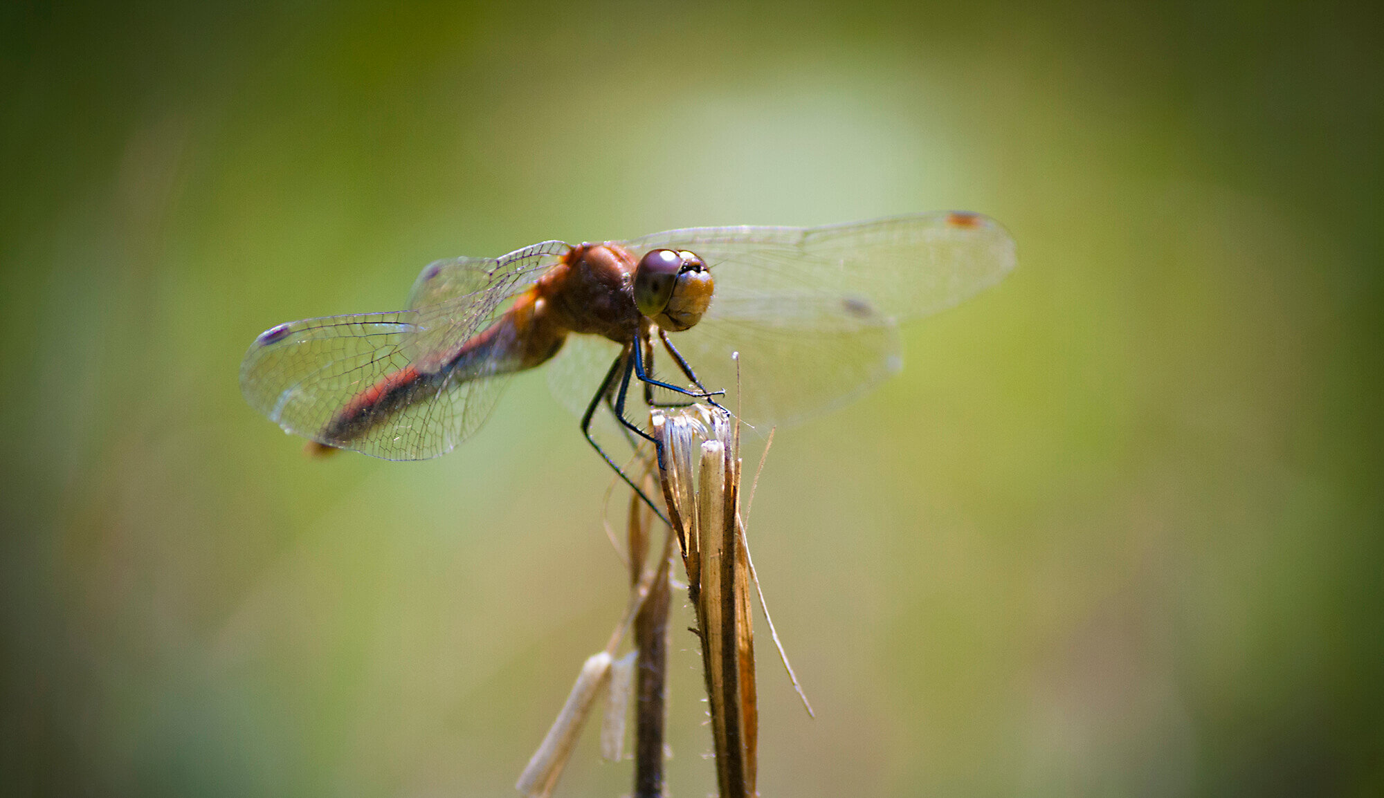
Wetlands provide important habitat for fish, amphibians, birds, insects, and plants. The majority of wildlife on Earth rely on wetlands during their life time, for nesting, raising young, migrating, or finding food. Many Species at Rish in New Brunswick, such as snapping and wood turtles, yellow rail, and least bittern rely directly on wetlands for survival. Disturbing wetlands impacts the survival of these and other species significantly.
IDENTIFYING A WETLAND
Identifying a wetland can be a challenge, especially since many wetlands do not always look wet. You may have wetlands on your property if you see the following characteristics:
Surface water is present for ten or more consecutive days during the growing season.
Frequently wet soils with plants that tolerate wet conditions.
WETLAND TYPES
PEATLANDS, such as bogs and fens, do not always have visible surface water and take thousands of years to develop. Bogs get their water from rainfall, fog and snowmelt only, whereas fens can also be fed by ground water. Plants such as showy lady’s slipper and pitcher plants are found in these wetlands because they can tolerate wet acidic conditions.
Many peatlands suffer long-term damage from being mined for peat used in landscaping. While peat is considered to be a renewable resource, it only grows back 0.5mm to 1mm per year.
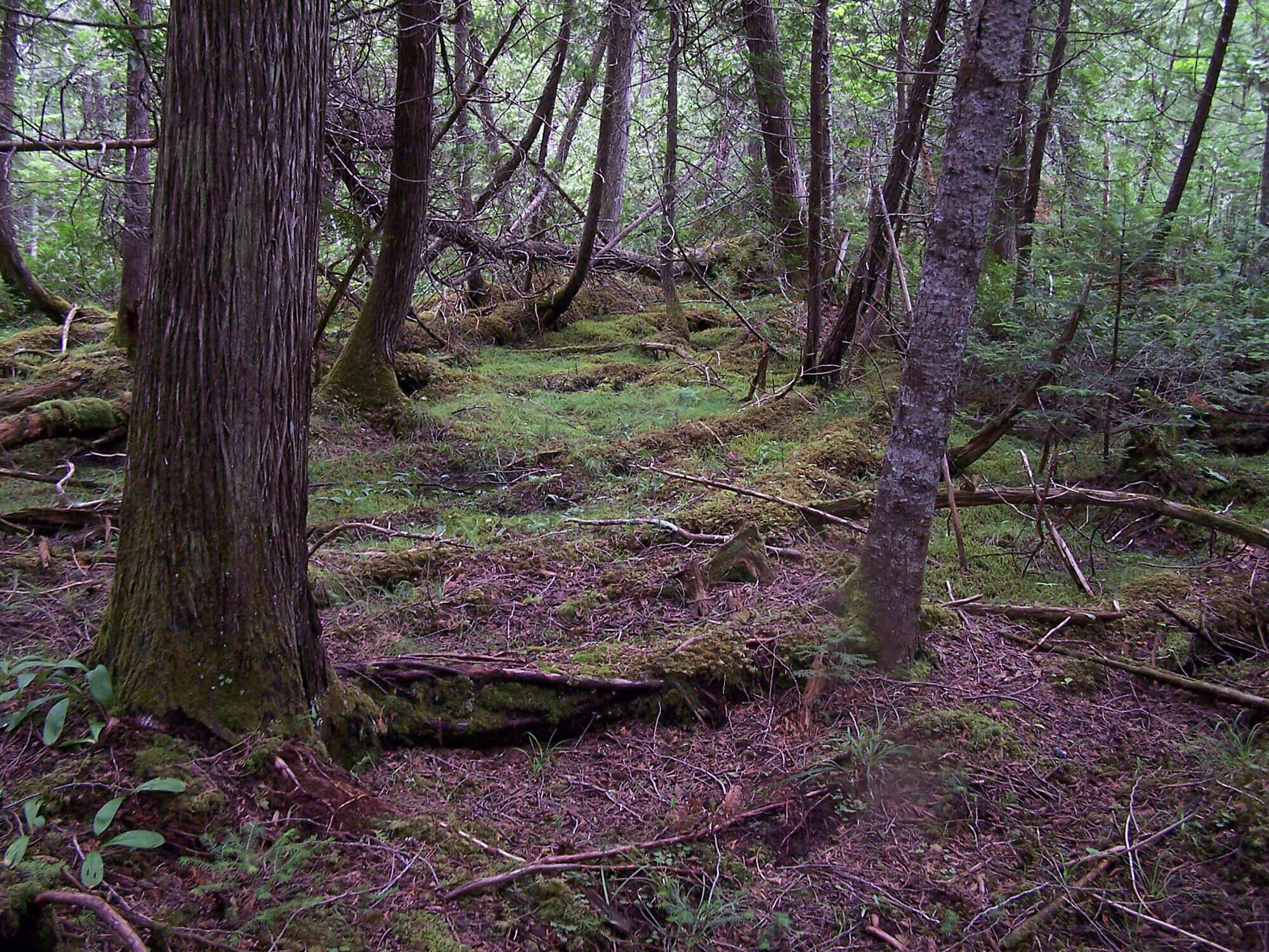
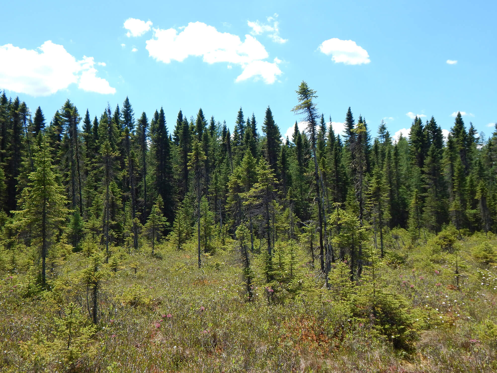
FORESTED WETLANDS, such as floodplain forests and swamps, mainly have trees and shrubs and sometimes do not look like wetlands at all. Forested wetlands are often home to silver maple, cedar and black spruce, and host many wildlife species. Cedar and black spruce wetlands are becoming increasingly rare because of the demand for their lumber; floodplain forests in-turn are threatened by the development of shoreline properties.
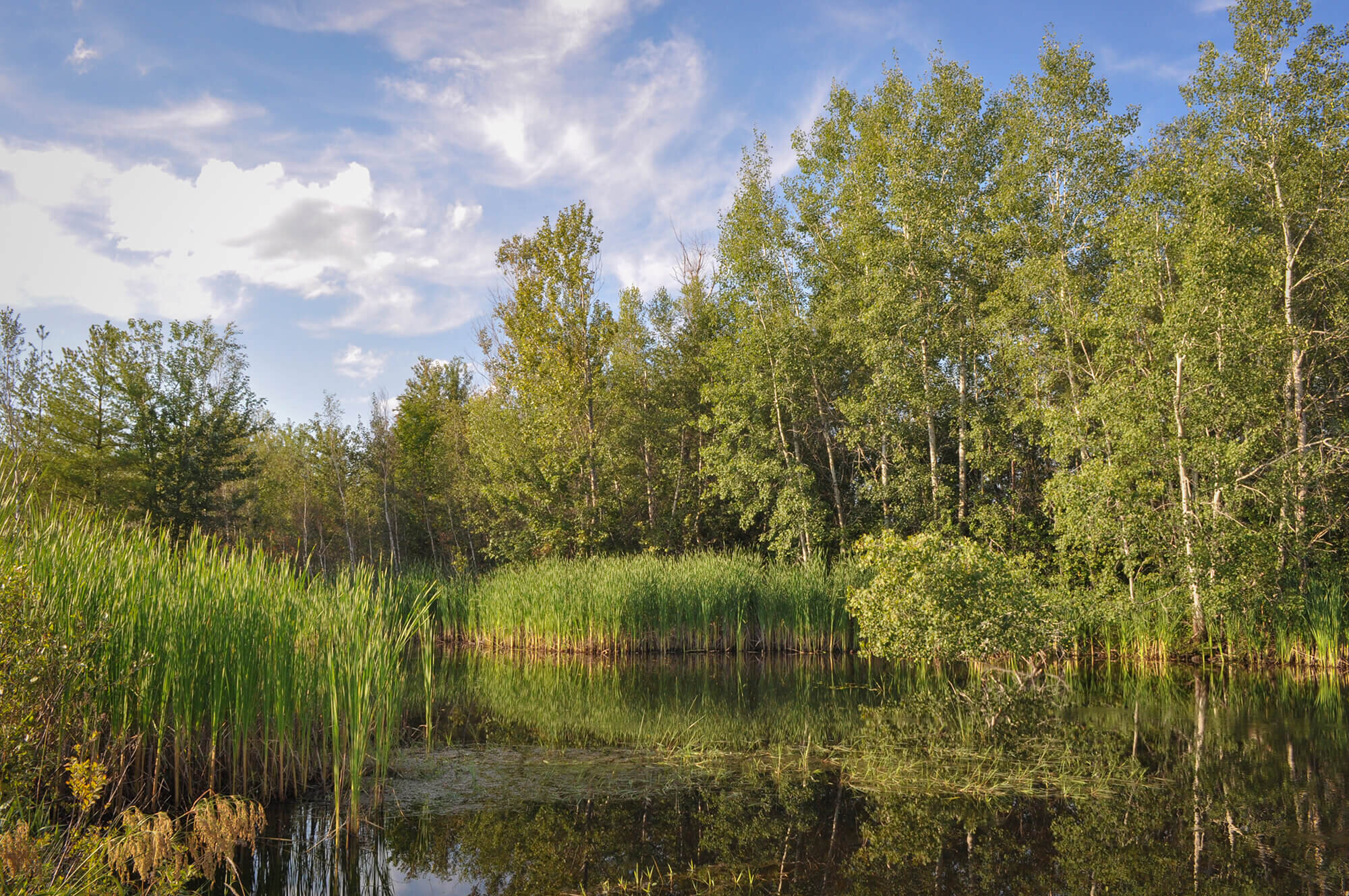
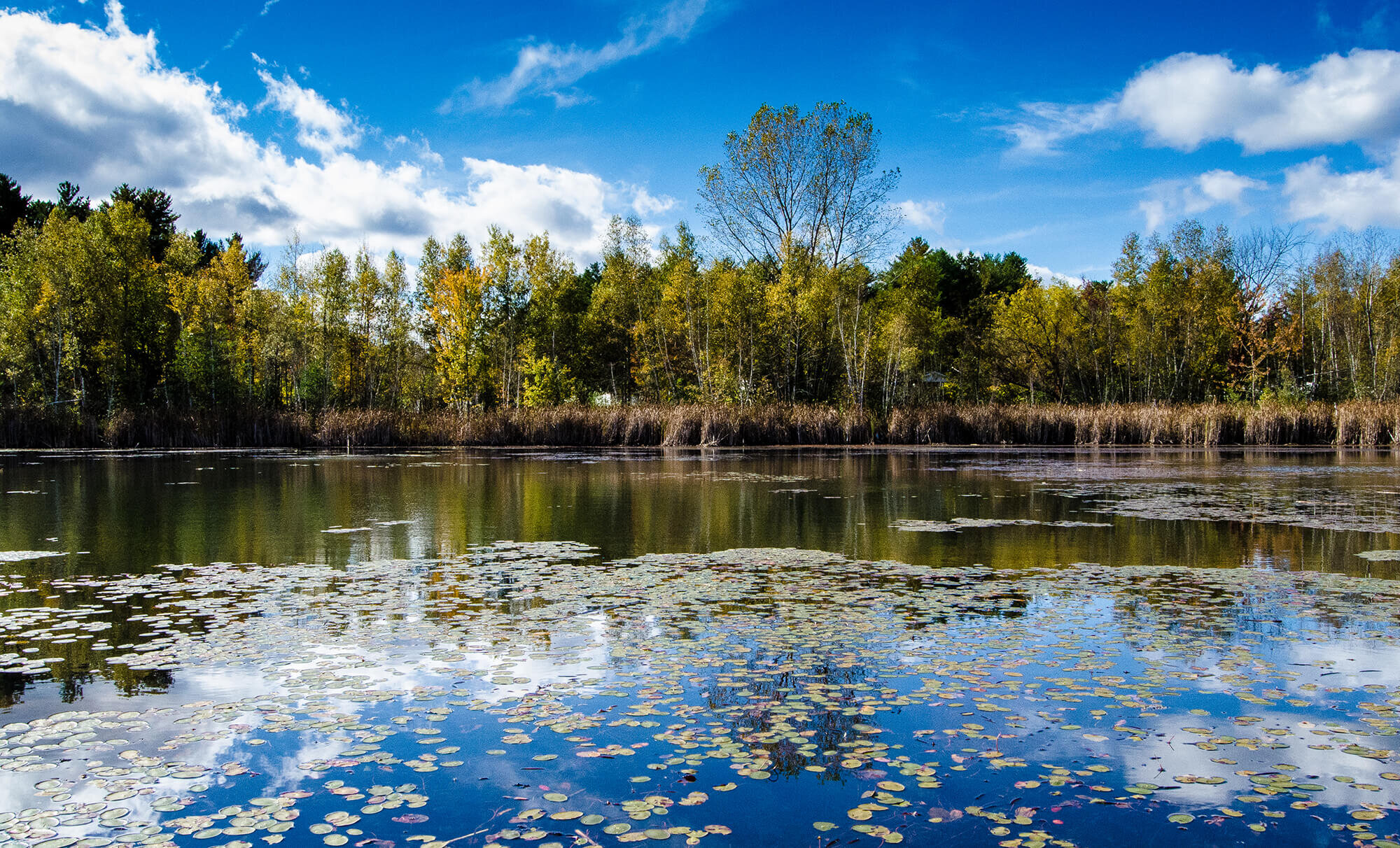
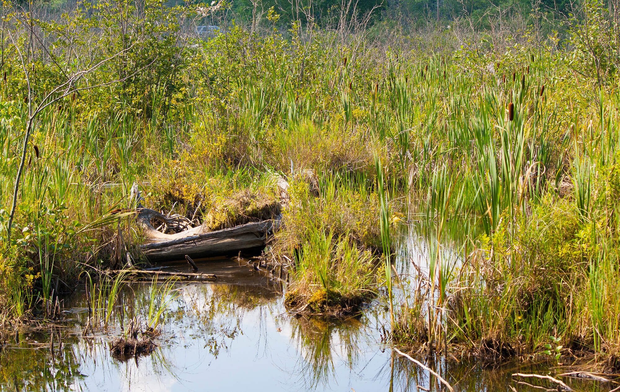
FRESHWATER WETLANDS, like shrub wetlands, aquatic beds, sedge meadows, and freshwater marshes, usually have open water temporarily or seasonally. They commonly have grass-like plants, shrubs, and floating or underwater plants and can be found on the edge of lakes or rivers.
Invasive plant species threaten native species in these wetlands by using their resources and in doing so push native species out of their habitat. You may be interested in learning about invasive species in your area. For more information, contact Nature Trust.
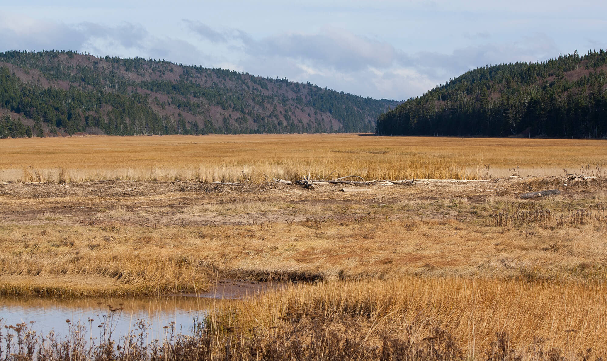
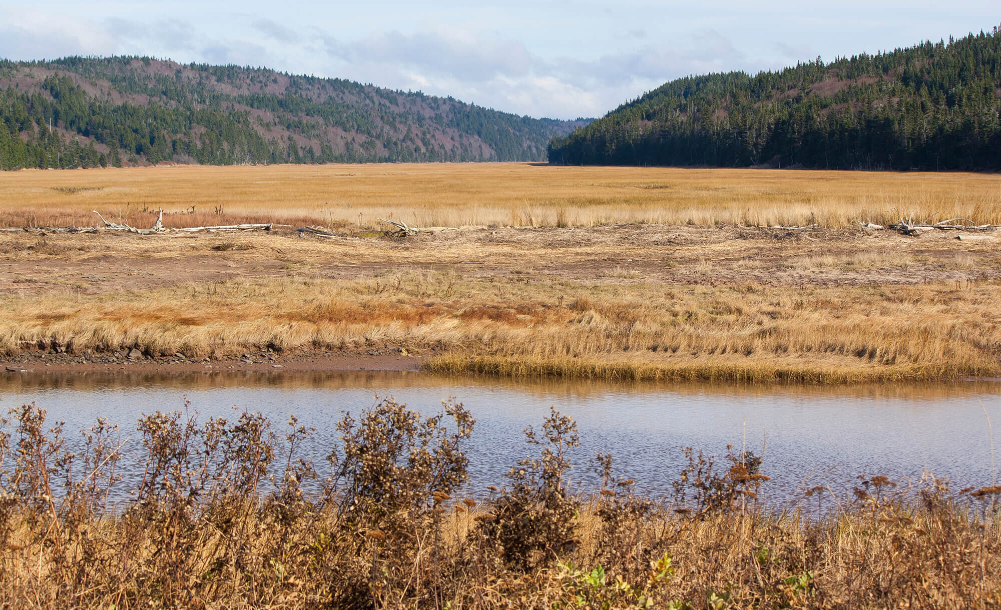
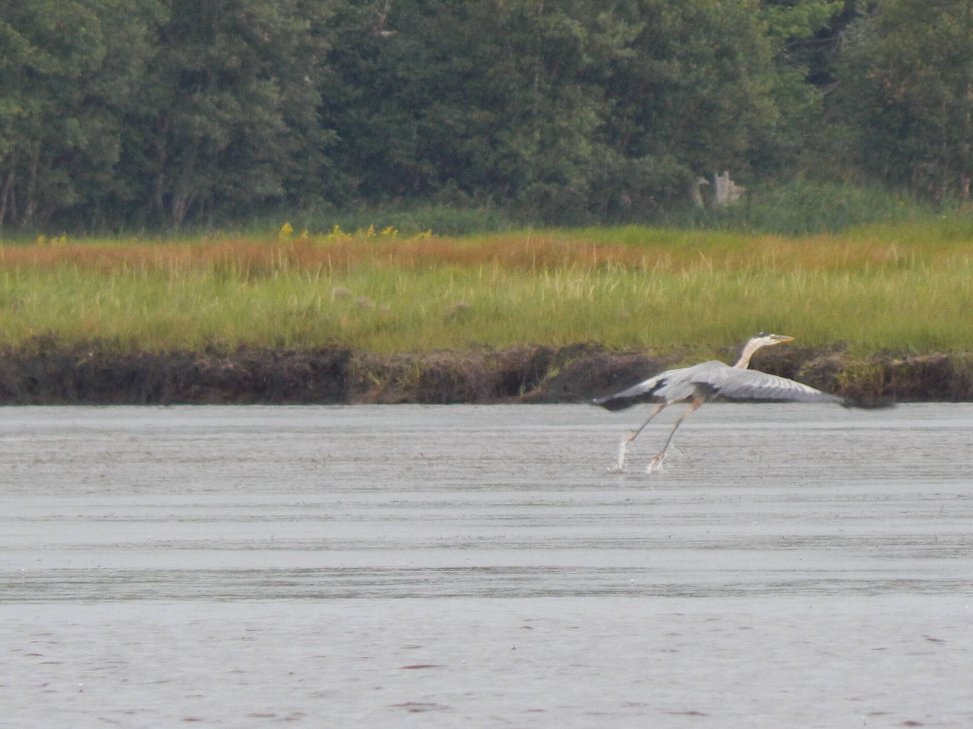
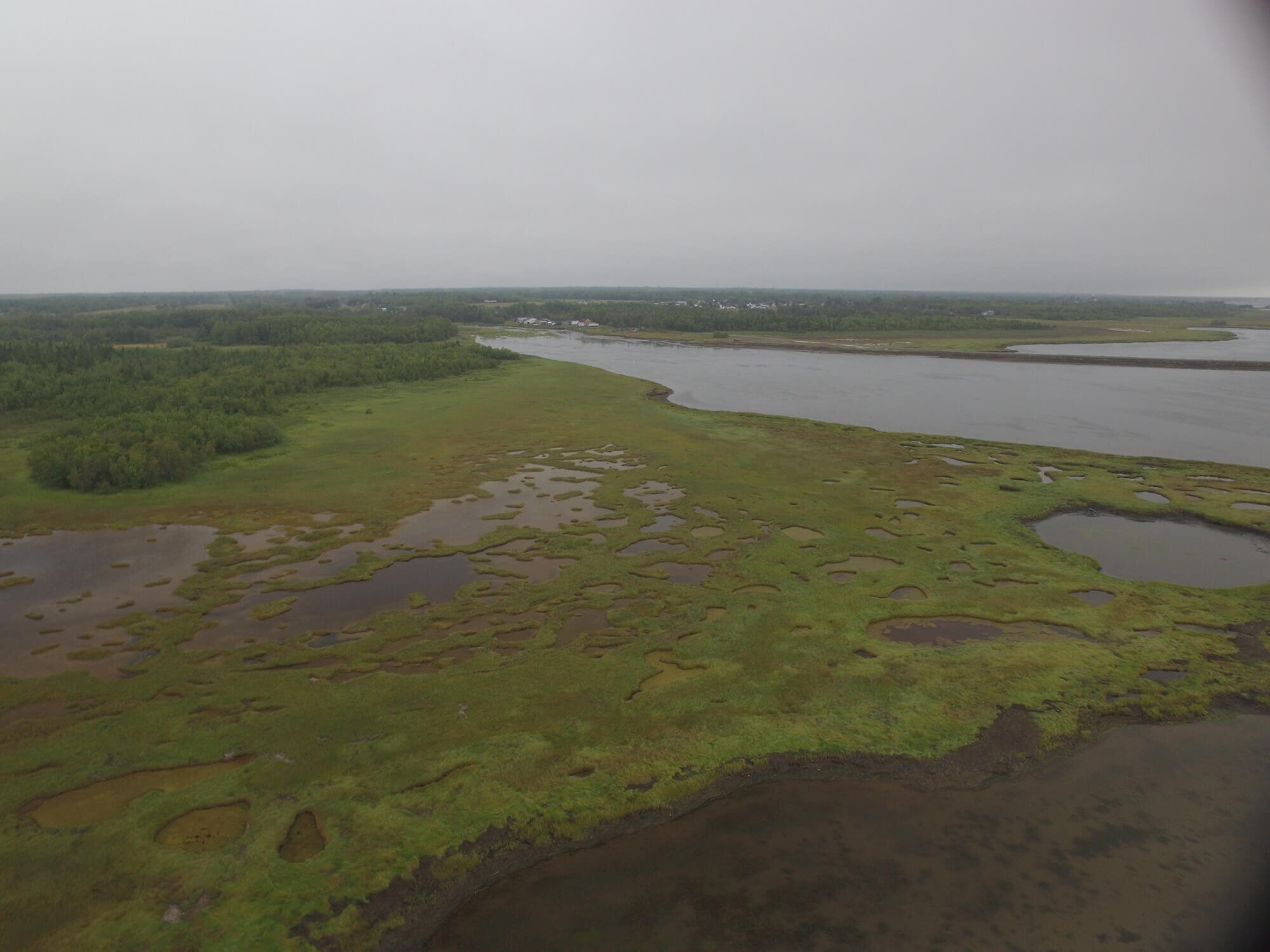
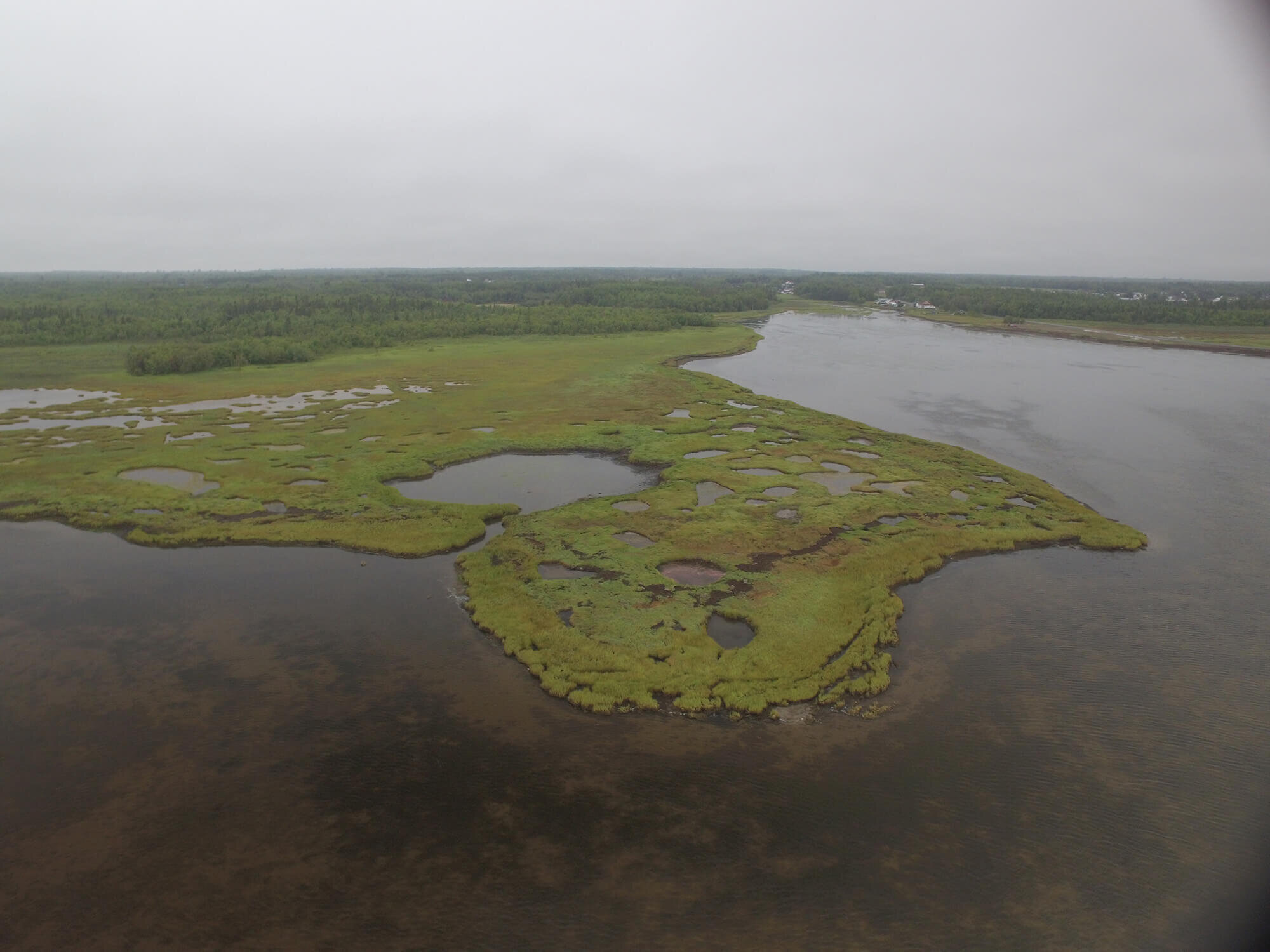
COASTAL WETLANDS, like shorelines and salt marshes, are found along coastlines. Plants like cord grass and beach peas thrive in these salty conditions. Millions of shorebirds, including over two million semipalmated sandpipers (75% of the world population2), migrate through these in the Bay of Fundy to stock-up on food and energy.
This is one of the reasons why all New Brunswick’s coastal wetlands are given maximum protection as Provincially Significant Wetland. Over 65% of New Brunswick’s salt marshes have been filled-in mainly to create agricultural land. This has removed the habitat of nearly 50 bird species that use salt marshes and coastal shorelines, including many Species at Risk.
IDENTIFYING WETLANDS ON YOUR PROPERTY
All wetlands and watercourses are subject to the New Brunswick Wetlands Conservation Policy and Watercouse and Wetland Alteration Regulation (90-80).
Wetlands in New Brunswick are regulated by the province with the help of the Regulated Wetland Mapping layer which is available online on GeoNB. These regulated wetlands are mapped as yellow and orange shapes. The yellow shapes represent Provincially Significant Wetlands.
These wetlands have been given a special status because they meet certain criteria such as: wetlands that contain Species at Risk; wetlands within a Migratory Bird Sanctuary; wetlands within Protected Natural Areas; and coastal marshes, amongst others. Activities within Provincially Significant Wetlands and their surrounding 30-metres protective (buffer) zones are highly restrictive. The orange shapes represent all other regulated wetlands.
Find out if you have regulated wetland on your property by following the adjacent steps, when accessing the Government of New Brunswick’s interactive map at: http://geonb.snb.ca/geonb
STEPS:
Click the wetland icon to display wetlands on the interactive map. Zoom in closely to make the wetlands visible (Scale 1:16 000).
The wetland map legend will appear; click on a legend item for more information. Click the OK button at the bottom to return to the legend.
Click the Parcel Search icon at the top of the screen.
Type in your Property Identification Number (PID) (An eight-digit number on the top right corner of your property tax bill).
Details about your property will display and the parcel will be highlighted in red. Click on the red box button to go to your property.
If your wetlands are mapped, they will look similar to the above image:
Provincially Significant Wetland (Yellow).
Regulated wetland (Orange).
You can also view an aerial photo of your property by hovering the pointer over the Basemap tab, and click the Aerial button.
POLICIES, REGULATIONS, AND PERMITTING
The New Brunswick government manages wetlands through the New Brunswick Wetlands Conservation Policy and the Watercourse and Wetland Alteration Regulation (90-80) under the Clean Water Act. This policy and permitting process regulates all work in and around wetlands and watercourses to protect the health and natural function of these systems.
The policy applies to all regulated wetlands equal to or greater than one hectare in size, or any regulated wetlands which are continuous to watercourse regardless of size.
The policy regulates all alterations in wetlands and in the 30-metre protective area (buffer) around them. The policy prevents the loss of Provincially Significant Wetland and ensures no net loss of wetland functions in all other wetlands.
Under this policy, the Watercourse and Wetland Alteration (WAWA) permitting process is used to regulate and reduce negative impacts to wetlands by assessing and identifying threats caused by work projects. Watercourse and Wetland Alteration permits are required for all work carried out in or within 30-metres of a wetland or a watercourse.
Some common activities in or within wetlands or watercourses that require Watercourse and Wetland Alteration permits include, but are not limited to:
Soil disturbance or building structures;
Vegetation removal;
Use of machinery.
The New Brunswick Wetlands Conservation Policy encourages a 30-metre-wide protective buffer of natural, undisturbed vegetation around a wetland. The buffer protects wetlands from the impact of outside threats, and serves as important habitat for a wide range of wildlife.
Watercourses are the bottoms, banks and sides of any channel, natural or man-made, that is wider than 0.5 metres, and any other natural or man-made basin (e.g. lake or pond).
APPLYING FOR PERMITS
Watercourse and Wetland Alteration permit applications can be filled out online on the Government of New Brunswick website or by visiting your local Department of Environment and Local Government office.
Applications can be processed faster if you include as much detail as possible in your application.
These applications can take up to two months for approval. For alterations that pose little risk, permits may be granted in ten days or less. Find more information on permits at www.gnb.ca or your nearest Department of Environment and Local Government office.
Have the following available when applying:
Project location: You will be able to use an online map, but a PID number will help locate your project location easily.
A full description of the project, including location of the property and distance from the wetland and or watercourse.
Drawings of the proposed project (with full dimensions).
Photos of the project area.
Letter of consent from the property owner (if you are not the legal owner e.g. contractor).
If you have printed photos, maps, letters, or other documents to support your application and are not able to submit them electronically, you may mail or deliver them in person to your regional office, quoting your application reference number.
WHY WETLAND COMPENSATION?
When the Department of Environment and Local Government assesses potential developments, steps are taken to ensure that a project avoids, minimized, and/or compensates for impacts to a wetland or watercourse. Compensation is required whenever permanent unavoidable impacts are permitted to occur in a wetland, and compensation actions must lead to a gain in overall wetland function in the province. These actions could include restoration or improving the function of existing wetlands, creating new wetlands in areas it did not exist before and more.
The Department of Environment and Local Government works with applicants and a third-party partner organization, such as Ducks Unlimited Canada, to meet compensation requirements to offset the loss off wetland function of approved projects.
It is almost impossible to recreate the complex function of natural wetlands. A wetland compensation ratio is implemented to overcome these difficulties. The compensation ratio requires the compensation area to be larger than the natural wetland it is replacing. The current compensation ratio is 2:1 (compensation area: wetland area impacted).
NEW BRUNSWICK’S WETLANDS: OUR RESPONSIBILITY
As New Brunswickers, we are privileged to have access to so many wetlands and watercourses in the province, giving us the opportunity to enrich our lives with wildlife, recreation, and natural beauty. This is why it is important that we all do our part in caring for our wetlands and watercourses. The Nature Trust of New Brunswick can help guide you with this.
Caring for your wetlands can mean many things and it does not have to restrict how you enjoy your property. With planning and understanding, you can care for, enhance, and even rehabilitate wetlands. Simple things like limbing a tree instead of removing it entirely, can still provide a great view without altering the wetland. In general, it is best to let mature take its course with as little interference as possible.
WETLAND STEWARDSHIP
The Nature Trust of New Brunswick supports landowners, who want to do their part to care for New Brunswick’s natural spaces, through the Landowner Stewardship Program. The Nature Trust can provide information on how to care for your wetlands and watercourse, or give guidance to help you ensure wildlife species thrive on your land. Nature Trust staff will help you identify important areas for wildlife and help you keep the balance between using the land and preserving it. This is a voluntary program for those who want to be good land stewards. For more information visit www.naturetrust.nb.ca.
BENEFICIAL ACTIONS AROUND YOUR WETLANDS INCLUDE:
Leave a natural buffer area of 30 metres or more.
Avoid damaging or altering stream channels.
Keep trees and other plants along your wetland, watercourse, and buffer areas as natural as possible.
Design trails around wet areas, rather than through them.
Try to minimize disturbance when collecting resources such as fiddleheads and berries.
Avoid or minimize soil disturbance and ATV access in wetlands.
Avoid areas where wildlife such as fish, frogs, waterfowl, and shorebirds breed.
CONTACTS AND RESOURCES:
Environment Canada Climate Change and Wetland Information
New Brunswick Department of Environment and Local Government
New Brunswick Watercourse and Wetlands Alteration (WAWA) Manual
New Brunswick Watercourse and Wetland Alteration Online Permit Application
New Brunswick’s Watercourse and Wetlands Alteration Regulation
New Brunswick’s Watercourse and Wetlands Alteration Technical Guidelines
New Brunswick’s Wetlands Conservation Policy
US Army Corps Delineation Information
REFERENCES:
Government of New Brunswick Department of Transportation and Infrastructure Wetland Factsheet
Fundy Shorebirds. Accessed 13 September 2017. http://www.speciesatrisk.ca/fundyshorebirds
If you are interested in conserving New Brunswick coastline or to learn more about our ongoing work on the coast, please contact our Conservation Manager, Carli le Roux or by calling (506) 457-2398.