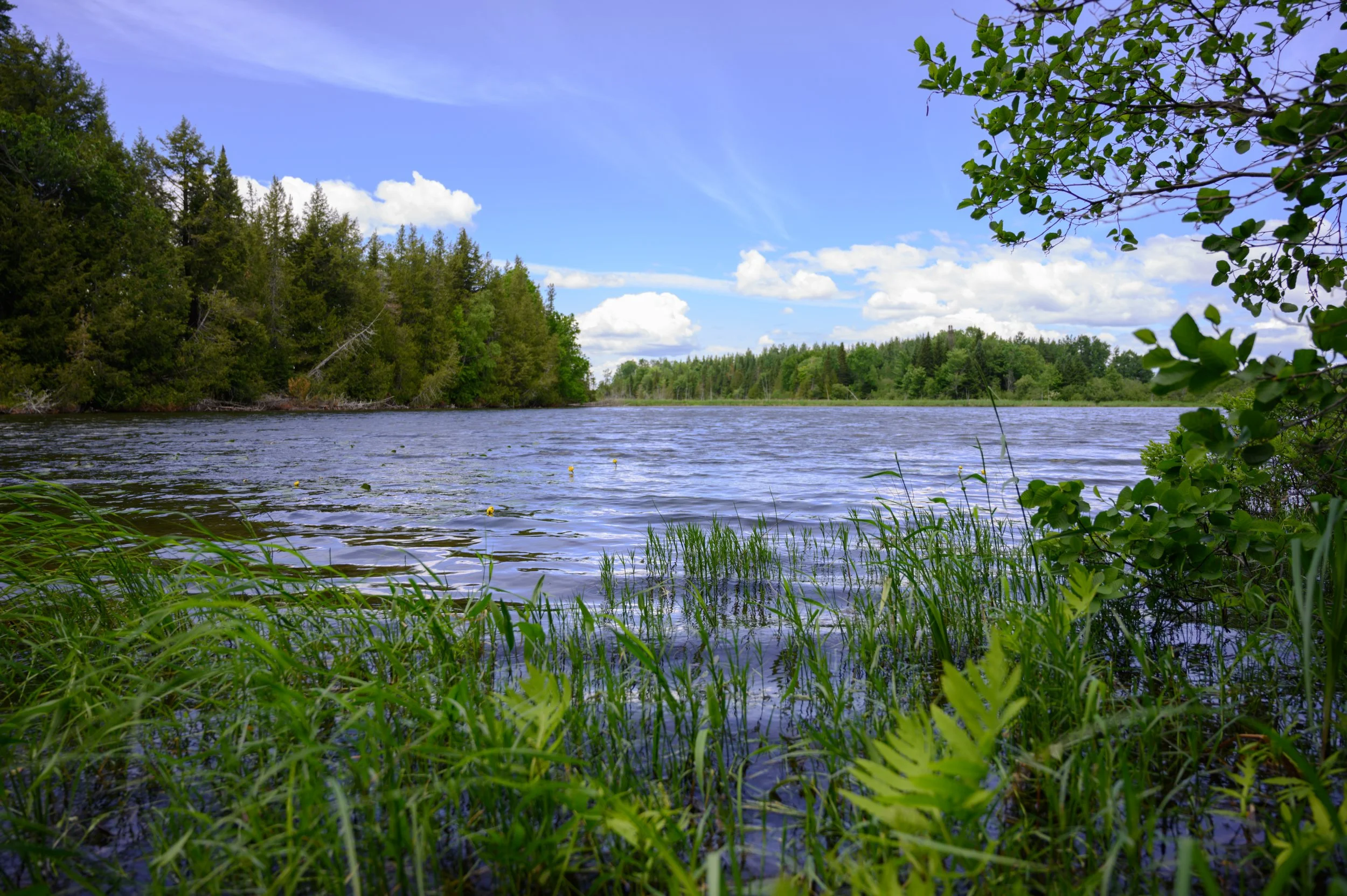
Healthy water matters—to wildlife, communities, and the landscapes we all care about.
The Nature Trust of New Brunswick’s water quality testing and monitoring program empowers volunteers to help protect freshwater ecosystems by collecting reliable, on-the-ground data. By learning simple water quality testing methods, volunteers help fill important gaps in the water data in New Brunswick, particularly on Nature Trust preserves.
Working together for clean water
We’re proud to collaborate with the Atlantic Water Network as a WaterRangers kit hub. This partnership means you can borrow water testing kits from our office at 649 Queen Street, Fredericton between April and November and contribute data that supports research, conservation, and stewardship across New Brunswick.
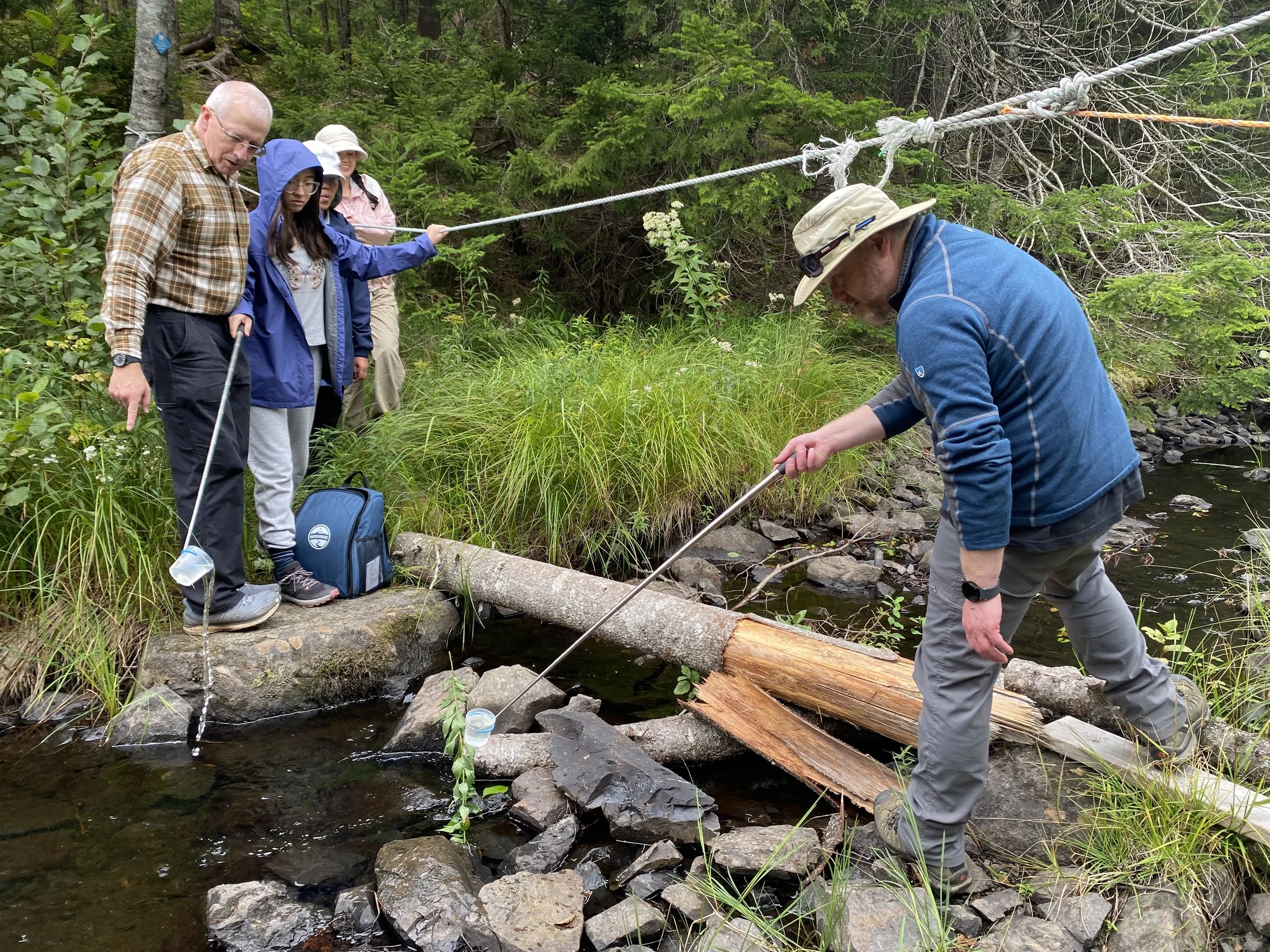
Volunteers testing a stream on Caughey-Taylor Nature Preserve in 2025
How to get involved
Getting involved is easy, and no prior experience is required.
Step 1: Learn the tools
Volunteers use two main tools as part of the program:
Landscape Conservation Software, a free program which provides maps of Nature Trust preserves and GPS locations for monitoring. To learn how to use the app and receive our volunteer login, check for upcoming training events through the Nature Trust and fill out a volunteer interest form here.
Water quality testing methods, including how to safely collect and record data. Training resources are available through ther Atlantic Water Network, here: Wet-Pro Courses. Check for upcoming training events through the Nature Trust here.
Step 2: Choose a site
Email engage@ntnb.org to let us know which Nature Trust preserve you’re interested in monitoring. Staff will prepare your visit in the Landscape app and confirm your site details. Explore our map of nature preserves here.
Step 3: Pick up your kit
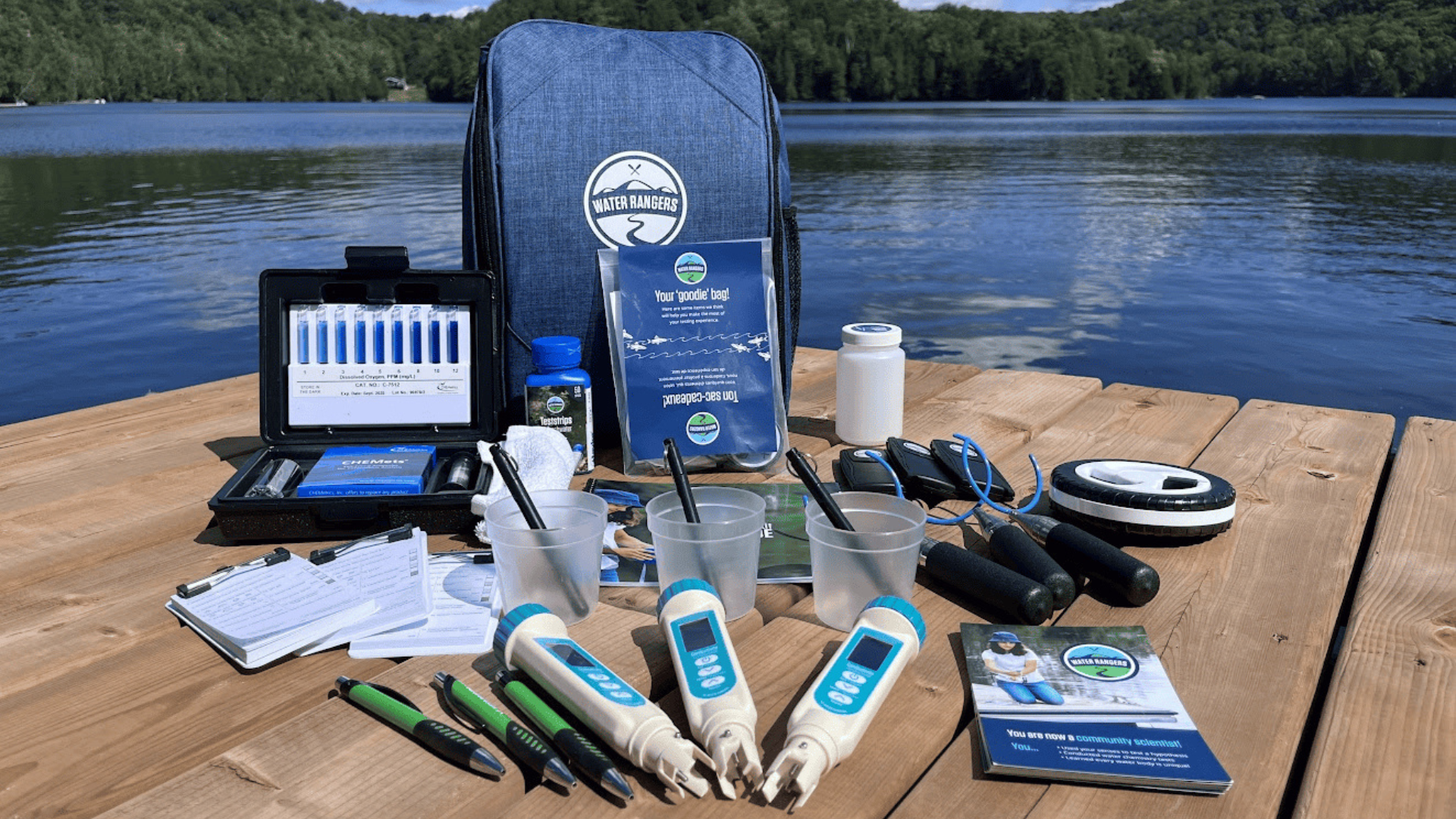
Once your visit is set up, you can collect a WaterRanger backpack from our Fredericton office (649 Queen St., Second Floor). Each kit includes water testing tools, clear instructions, and logbooks for recording your data.
Step 4: Head into the field
Now you’re set for the field! Visit your assigned stream, river or lake and carry out the water quality tests. Take photos of your completed data sheets, sync your Landscape visit, and let our team know you've completed your monitoring.
We’ll take care of the rest—our team will upload your data to WaterRangers and Atlantic DataStream, where they become accessible to researchers, conservationists, and decision makers.
What do we measure?
WaterRanger kits allow volunteers to collect data on key indicators of water health, including:
Water temperature
pH
Dissolved oxygen
Hardness
Conductivity
Chlorine
Alkalinity
Water depth
Collecting consistent baseline data helps us understand the overall health of water bodies and the plants and animals that depend on them, now and into the future!
Explore the data
You can view water quality results collected by volunteers across the region using the interactive WaterRangers map below!
Stay in touch
Learn more about volunteering with the Nature Trust and discover the many ways you can make a hands‑on difference.
Keep up to date with Nature Trust news by subscribing to our email newsletter—you’ll receive updates on conservation projects, volunteer opportunities, and stories from the field.
And check out our events calendar to see what’s coming up and how you can join us outdoors!
This project is made possible thanks to funding from Wildlife Habitat Canada and partnerships with the Atlantic Water Network and Water Rangers—thank you!